RW Engineering & Surveying can provide GIS services to public and private clients. GIS (Geographic Information System) is a powerful tool used to analyze and manage geospatial data. GIS stores, manages, and makes valuable information instantly accessible to decision makers throughout your organization. Our GIS team utilizes the latest technology and software to create accurate and up-to-date maps, perform complex analyses, and provide meaningful insights for your projects.
We offer a wide range of GIS services for civil engineering, municipal, and land development projects, including:
- Geospatial Data Analysis: Our GIS team has expertise in analyzing and visualizing spatial data to help identify patterns and trends that can inform your project decisions.
- Mapping and Cartography: We create custom paper and digital maps and cartographic products that meet the unique needs of our clients. Our team can produce high-quality maps that provide critical information for land use planning, environmental studies, infrastructure development, construction site overviews, and public presentations.
- Asset Management and Spatial Database Management: Our GIS team can help you manage your assets and infrastructure through the use of spatial databases and data management tools. We can help you identify and track critical assets, monitor changes over time, and plan for future maintenance and upgrades.
- Environmental Analysis: We use GIS to analyze environmental data, such as water quality, land use, and ecological conditions. Our team can help you understand the impact of your project on the environment and identify ways to mitigate any negative effects.
- Data Visualization: Visualization of complex engineering data into accessible and easily understood visual formats such as graphs, plots, information graphics, tables, and maps using visualization tools, including ArcGIS, Civil 3D, Google Earth, and Excel.
- Imagery Analysis and Remote Sensing: We can work with you on the acquisition, processing, and analysis of imagery from various governmental agencies, private entities, for site planning.
- Site Analysis: Our GIS team has expertise in analyzing geospatial data to identify potential constraints and opportunities for land development projects. We can help you identify the best location for your development, assess site suitability, and provide recommendations for land use.
- Zoning and Land Use Planning: Our team can create custom maps and zoning plans that meet the unique needs of your land development project. We can provide detailed information about land use regulations, zoning requirements, and other important factors that may impact your development plans.
- Infrastructure Planning: Our GIS team can help you plan and design infrastructure for your land development project. We can create detailed maps and models of existing and proposed infrastructure, such as roads, utilities, and drainage systems.
- Stakeholder Engagement: Our GIS team can help you engage with stakeholders and communities throughout the land development process. We can create custom maps and visualizations that communicate your development plans and help you build support for your project.
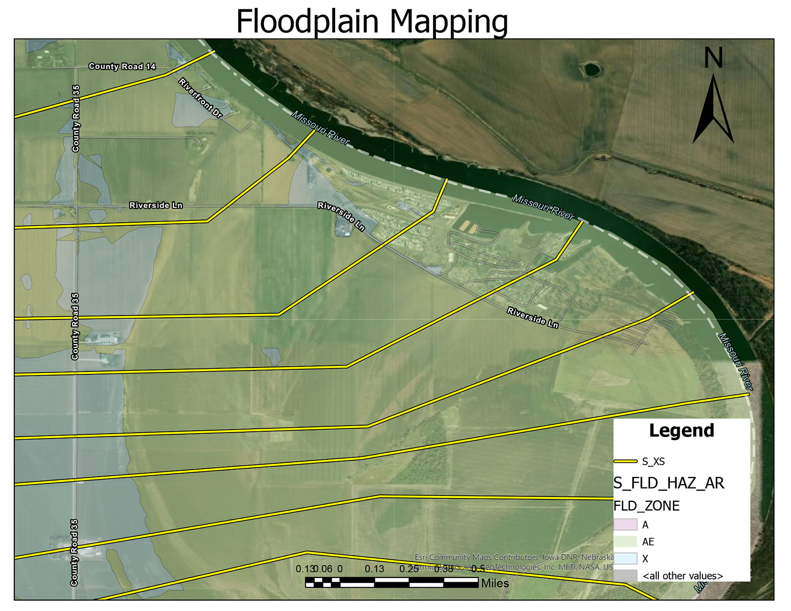
- Floodplain Mapping: Our GIS team can help with floodplain mapping and planning for your project.
- Watershed planning: Using available GIS data and EPA watershed models our team can aid in watershed planning for TMDLs for point sources and nonpoint source BMPs.
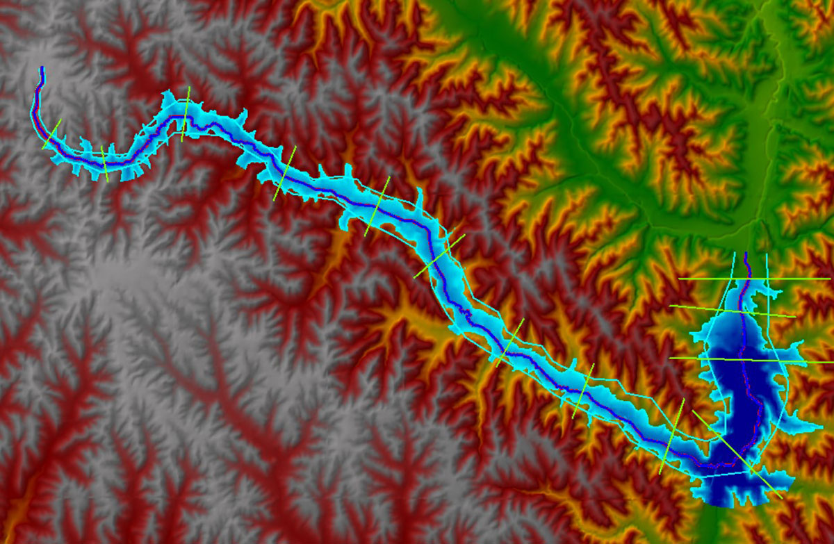
- Hydrology &Hydraulics: Using GIS data and our water resources engineering experience, we can develop hydrology and hydraulic models, including HEC-HMS and HEC-RAS for watershed and channel modeling.
- Mixing zone studies including bathymetry survey, dye studies, and mixing zone modeling and mapping.
At RW, we are committed to providing our clients with the best GIS services possible. We work closely with our clients to understand their specific needs and provide tailored solutions that meet their unique requirements.


