At RW, We Are Pushing The Limits Of What’s Possible With Mobile Mapping Technology.
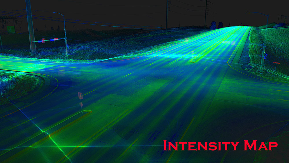
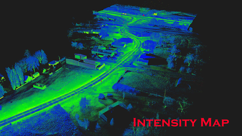
We are utilizing the latest in mobile LiDAR systems technology to drastically increase how rapidly we can capture data for large survey objectives. Our mobile LiDAR system combines survey-grade LiDAR sensors with IMU, GPS And SLAM sensors to provide multiple redundant methods to produce the most accurate data available. When combined with horizontal and vertical control and our decades of land surveying experience, this technology unlocks an unparalleled ability to survey large areas with high accuracy.
In addition to the ability to accurately survey more in less time, mobile LiDAR has greatly decreased the need for lane closures or other means of traffic control during surveying. This reduces the overall travel impact on the general public, keeping motorists and our project timelines moving. Additionally, by reducing the amount of time our crews are on the road, we are keeping them and the motorists safe.
One added benefit to our Mobile Mapping Solutions is the ability to service clients across multiple states. Our dedicated scanning team has traveled thousands of miles from our office to facilitate client most difficult requests. Often immediately mobilizing, due to various needs or site emergencies.
Mobile LiDAR (Light Detection and Ranging) and Mapping
- Road/Highway Surveys
- Pavement Analysis
- Urban and neighborhood corridor
- Topographic Survey
- Geographic Information System (GIS) data collection
- Telecommunication and electrical asset Surveys
- Volumetric Analysis