Do you need a boundary survey?
If you’re unsure please read the information below. If you’d like to have your boundary surveyed by the professionals at RW Engineering & Surveying, please contact us.
What is a boundary survey?
A boundary survey, or retracement survey, is a procedure by which a licensed Professional Land Surveyor reestablishes the corners of a parcel of land as it relates to the parcel’s legal description. In other words, the surveyor places the parcel’s legal description, within the deed, upon the ground. Using knowledge and experience, the surveyor will interpret the intent of the legal description as it relates to physical evidence on the surface of the earth, such as found corner monuments, fence lines and physical occupation.
Why do you need a boundary survey?
- A boundary survey allows you to see the boundary of what you own or plan to purchase.
- A boundary survey can identify any encroachments such as driveways, fences, buildings and other man made improvements upon your property.
- A boundary survey and plat drawing provide a record of the property dimensions as well as the location of found corner monuments and monuments established to complete the boundary survey. If requested, the location of man made improvements can be included in the plat drawing to show their relationship to the boundary lines.
- A boundary survey can identify boundary lines for the construction of fences, driveways, building, etc.
A boundary survey includes five basic components:
- Legal research – The surveyor will compile recorded documents such as deeds, plats and previously recorded surveys as filed at the county recorder.
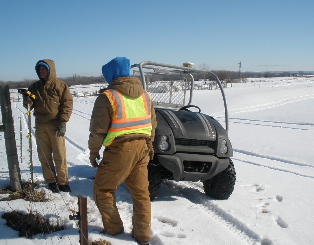
- Field work – The surveyor will gather physical evidence at the project site. The surveyor will visit the site of the boundary survey and search for and collect the location of found metal corner monuments as well as note the missing corner monuments.
- Calculations – The surveyor will compute and reconcile the differences between found evidence and recorded evidence, much like piecing together a puzzle.
- Field work – The surveyor will set any missing corner monuments.
- Plat drawing – A plat drawing will be made showing the parcel dimensions as well as found and set corner monuments. A copy will be recorded at the county recorder’s office and the client will also receive a copy for their records.
What do I get when I hire a Licensed Professional Land Surveyor to perform a boundary survey?
After the completion of all initial fieldwork and calculations, a final trip to the parcel is needed to replace any missing corner monuments. A corner monument is a metal pipe or metal rod set flush with the ground surface. A plastic cap with the surveyor’s license number is embossed upon the cap for easy identification. The final step is to create a signed plat drawing which is recorded at the county recorder’s office and made available to the public. A copy of the plat drawing is given to the parcel owner for their records.
Differences between a boundary survey and a mortgage survey:
A mortgage survey is required by mortgage lenders and is included with the bundle of documents signed at the time of closing. The mortgage survey is a very basic drawing of the parcel and buildings located upon the property. A mortgage survey can be completed in as little as 1 hour from start to finish. Mortgage surveys are not recorded documents and are not signed by a licensed Professional Land Surveyor.
If you need a boundary survey completed or have any questions please contact the professionals at RW Engineering & Surveying.

