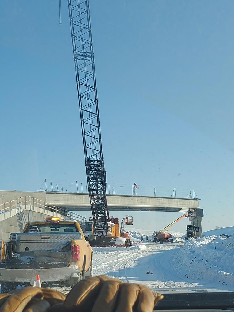
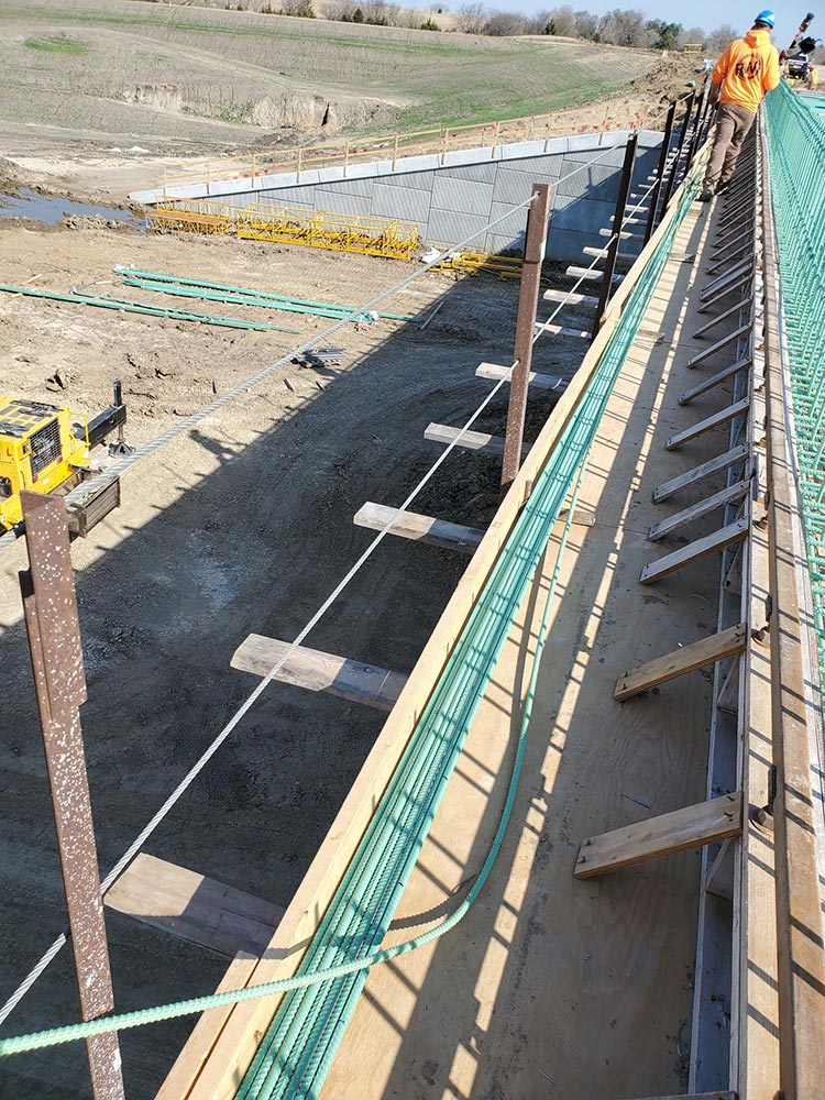
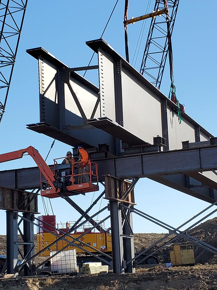
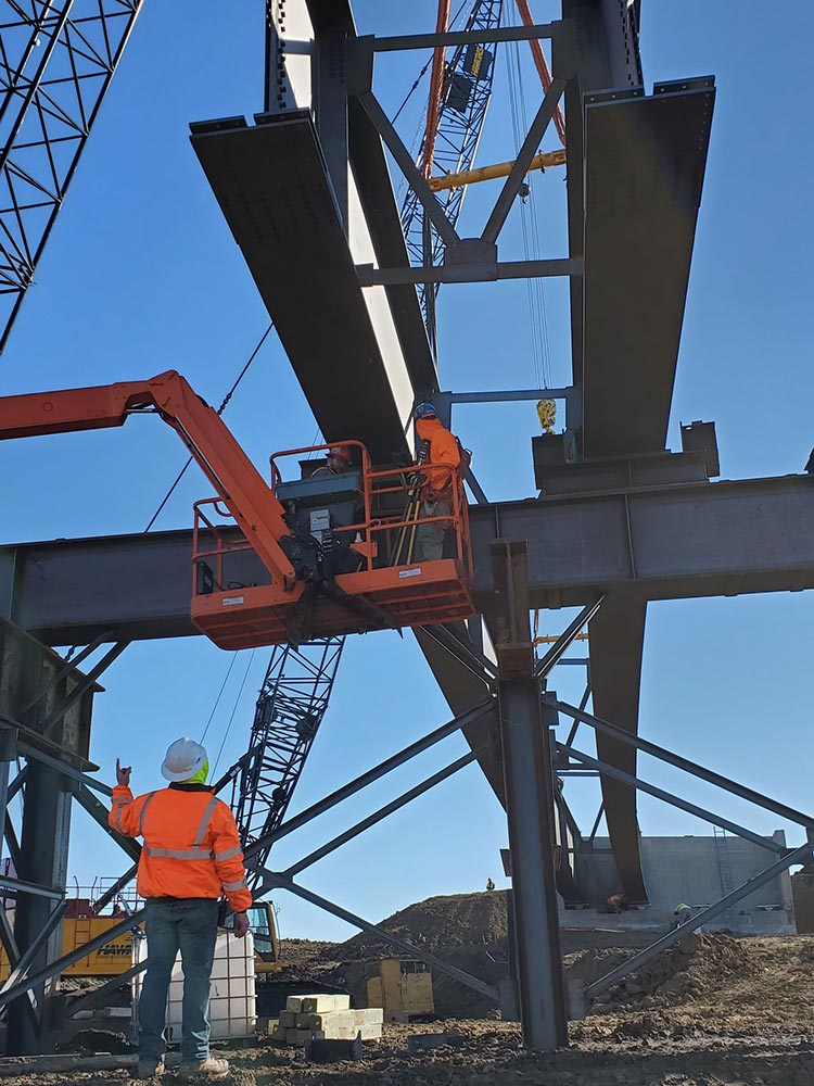
If you’re looking for construction surveying that’s done correctly, on time and on budget call the professionals at RW Engineering & Surveying.
If you have any questions about construction surveying please give the information below a quick read.
What is Construction Surveying?
Construction Surveying is also known as construction staking or construction layout. The surveyor uses the project design plans to “layout” or “stake the location” of improvements such as buildings, parking lots, sewer pipes, etc. At the beginning of a project, the surveyor will obtain a hard copy of the project plans as well as a copy of the CADD file with the project design. Using the information provided, the surveyor will layout or “stake” the horizontal and vertical location of the project improvements in coordination with the contractor’s needs.
What do I get when I hire a Land Surveyor to perform Construction Surveying?
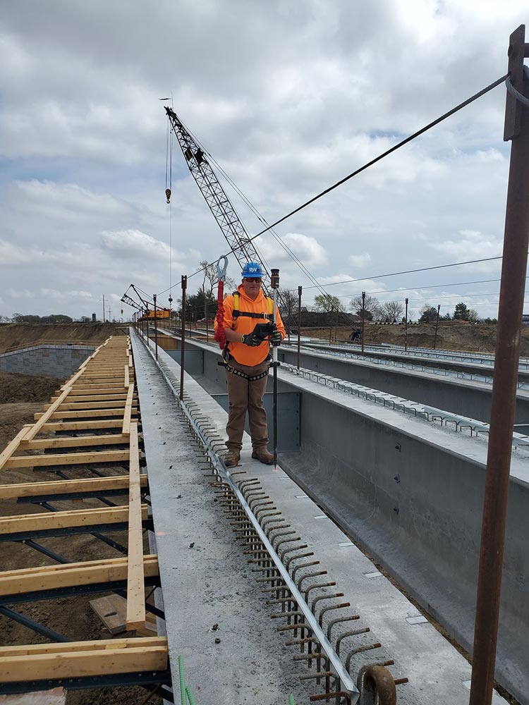
The land surveyor will use the project plans and modern surveying equipment to layout reference hubs or stakes that will be used by the contractor to guide the location of improvements. The reference hubs will show the horizontal location of the improvement and in some cases the depth the contractor needs to dig to install underground improvements. The reference hubs or stakes can be 1” x 1” wooden stakes driven into the ground, carpenter’s nails in asphalt or other hard surfaces depending on the requests of the contractor.
Avoid costly errors with our experienced construction surveyors.
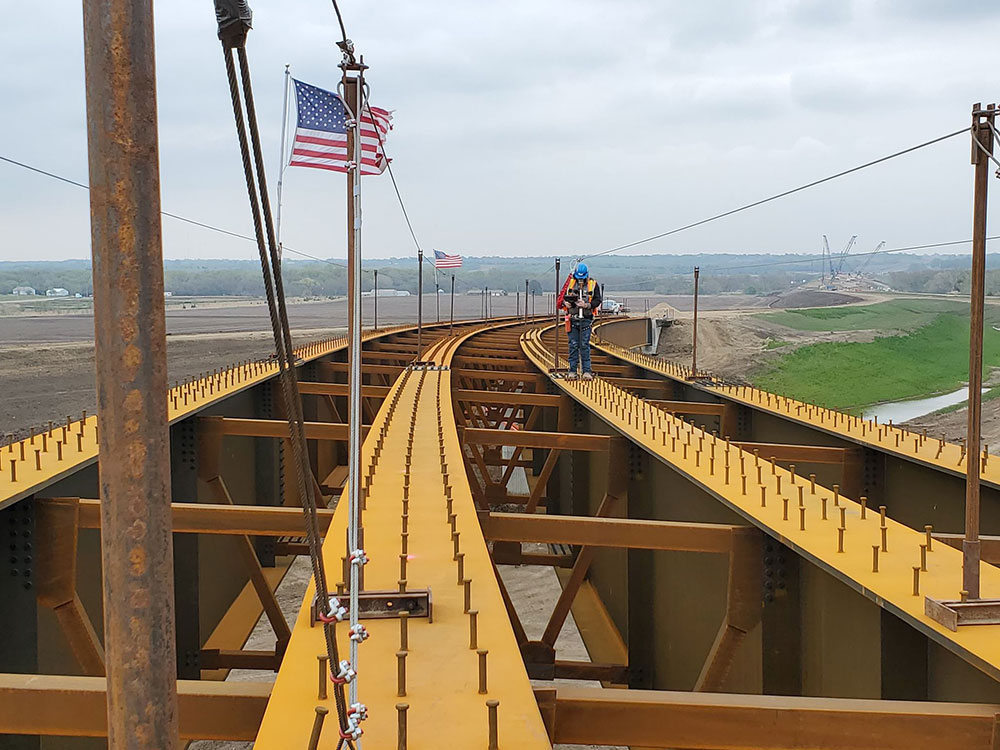
As one of Nebraska’s leading surveying services firms, RW Engineering & Surveying provides construction managers, developers, architects and engineers with a one-source solution for expert construction surveying services. At RW Engineering & Surveying we have the experience to ensure that construction projects both large and small have the information needed for clients dealing with tight schedules and unpredictable midwestern environments.
Our strict quality control keeps your budget under control.
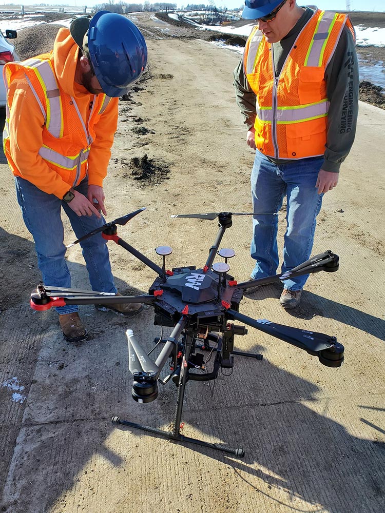
RW Engineering & Surveying crews use their expertise and advanced survey technologies to capture accurate field data. In our office, field data and calculations are verified by highly-skilled staff as part of our rigorous quality control process. It’s the most effective way we know to deliver accuracy you can trust, and much less expensive than correcting errors during construction.
If you need an As-Built survey or have any questions please contact the professionals at RW Engineering & Surveying.

