Do you need a topographic survey completed?
If you’re unsure please give the information below a quick read. If you have any further questions or would like an estimate please contact the professionals at RW Engineering & Surveying.
What is a Topographic Survey?
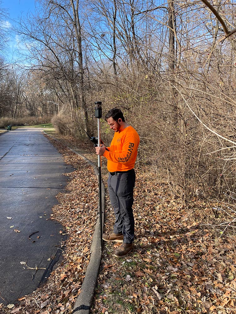
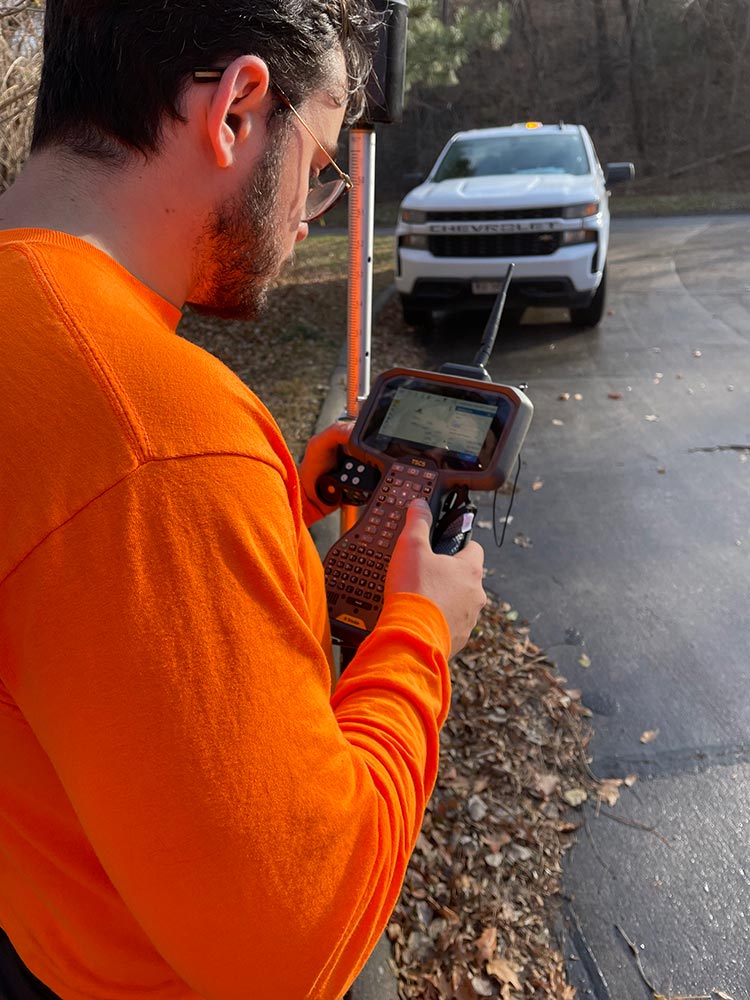
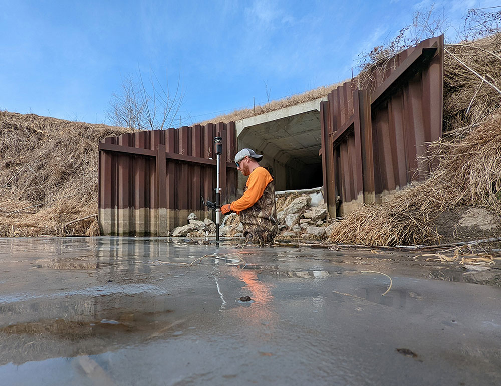
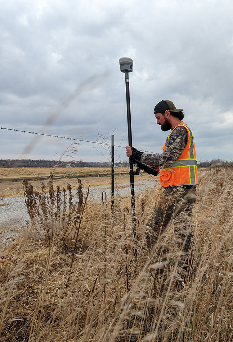
A topographic survey is a scalable map depicting features on the surface of the earth in three dimensions. The horizontal surface of the earth serves as the basis for the first two dimensions and the elevation above mean sea level serves as the third dimension. A topographic map is created in two steps. The first step is the collection of field data by surveyors using modern surveying equipment. The surveyor will use tools, such as GPS, to collect “points” on the ground. Points consist of trees, building corners, driveways, streets, sidewalk, exposed utilities, utility markings, etc. The second step is the creation of a CADD (computer-aided drafting and design) file in the computer. CADD software will import the ground points and draw a 3 dimensional map consisting of surface features and elevation contours. A completed CADD drawing serves as a 3 dimensional “base map” and is the foundational piece of information used to design improvements.
Why do you need an Topographic Survey?
Topographic survey has a wide variety of uses with the most common being the design of new improvements such as roads, bridges, buildings, sewers, etc. The topographic survey is used by design engineers to serve as a base map during the design process. Topographic surveys are also used as a base map for a site plan. A site plan is a detailed engineering drawing of proposed improvements to a parcel of land and is usually required by planning and zoning departments to verify that development codes are being met.
What do I get when I hire a Land Surveyor to perform a Topographic Survey?
The land surveyor will tie the topographic survey to standard horizontal and vertical datums such a State Plane Coordinates System (SPCS) for the horizontal component and the North American Vertical Datum of 1988 (NAVD88) for the vertical component. The use of both datums is widespread and an accepted practice amongst industry and government agencies and will allow the topographic survey to be connected to adjacent or nearby topographic surveys previously performed. The end product provided to the client can vary based upon the needs of the client. The most common “deliverable” to the client is a CADD file and hard copies of the topographic survey.
If you need an As-Built survey or have any questions please contact the professionals at RW Engineering & Surveying.

