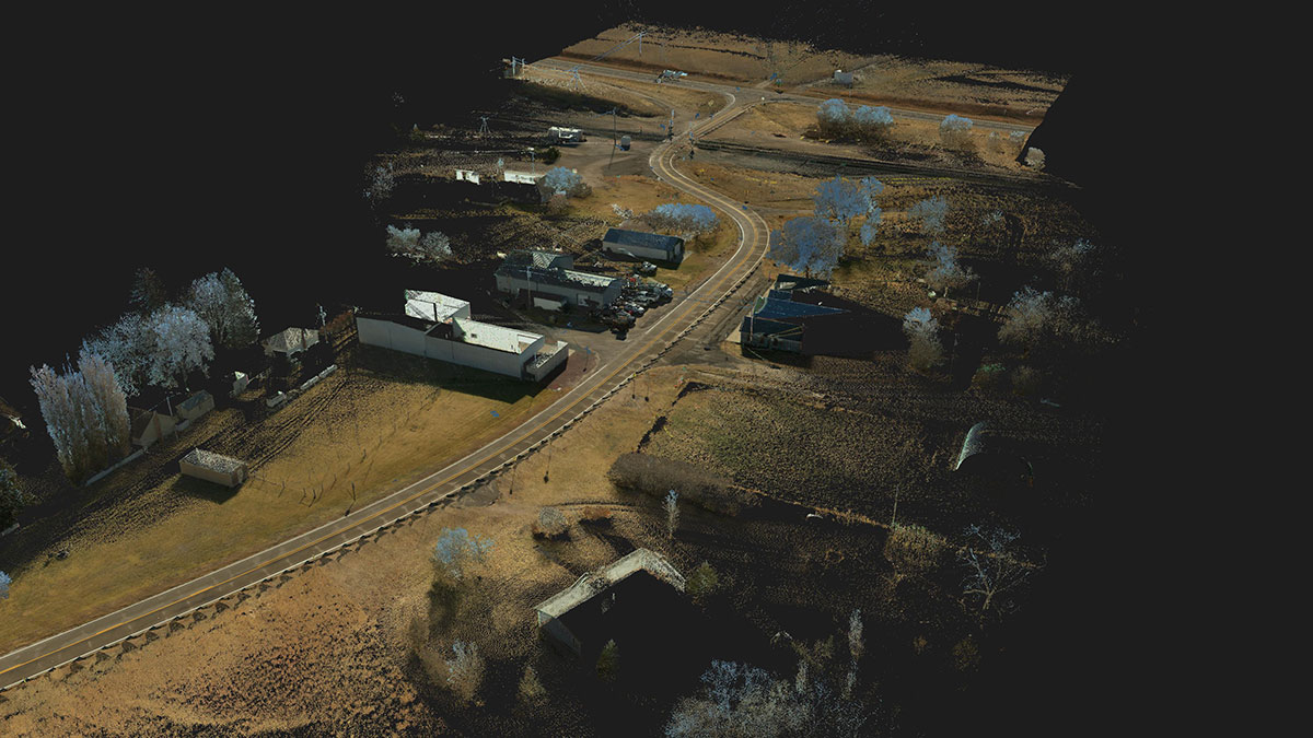
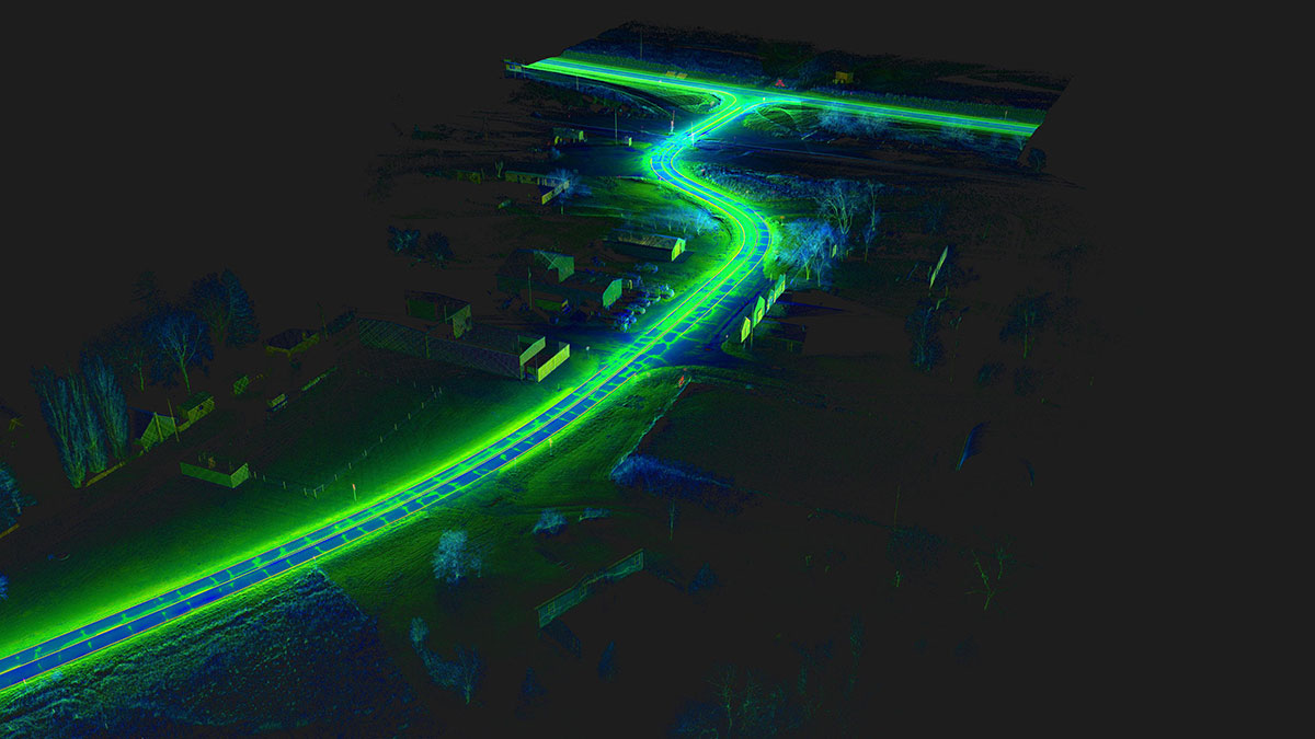
RW teamed with TranSystems on NDOT’s multi-service RFP and won two projects totaling 25 miles along Highway 250 in western Nebraska. Running with a traditional land surveying crew and traditional land surveying methods would have required four to six months of travel and labor expenses to facilitate this request. By implementing a hybrid approach utilizing our Mobile Mapping solutions alongside our traditional tools, RW was able to take four to six months of fieldwork and reduce it to under 3 weeks of work onsite.
The ensuing deliverables maintain (and exceed!) the rigid accuracy requirements for the Nebraska Department of Transportation work. This method of data capture also significantly reduces our crews’ time on the road. In the end, we provide savings in time and money for our partners and the DOTs that they serve. All the while keeping our team safer and the ability to spend giving them more nights at home with their families.