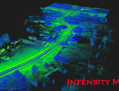
Our client needed a topographic survey for an upcoming road improvement project. As is the case for many projects that cross a land surveyor’s desk, it was needed ASAP. This mile and a half corridor included multiple busy intersections such as Highway 50 and Schram Road. With a short timeframe and heavy traffic volumes within the project limits, we selected the best tool for the job – our Mobile Mapping solution to capture the necessary information. This allowed us to complete the project without requiring time-consuming and costly road closures, and it kept our crews safe from the high-speed traffic on Highway 50.